

Beginning in the late 15th century, as European countries expanded their colonial ambitions, they began to look for a shortcut to access the lucrative trade of Asian countries, hoping to avoid the lengthy journey around the southern tip of South America and instead find a route north and west of the North American continent. This “Northwest Passage” was fully traversed by boat and sledge in the 1850s and finally navigated entirely by boat from 1903-1906. The presence of impenetrable pack ice prevented year-round access through the Passage for many decades. However, with the rapid acceleration of climate change in the early 21st century, the waters have now had some level of navigability almost every summer since 2007.

This map from about 1600 by Matthias Quad depicts what was then known of the North American continent. Along the top of the continent is a strip of waterway that, at the time, represented only “wishful thinking” for a navigable Northwest Passage. Above this is ice or land labeled “Incognita” or “Unknown.”
Irish explorer Robert McClure was the first to traverse the Northwest Passage in the 1850s. His ship, HMS Investigator, entered the Arctic Ocean through the Bering Strait, west of Alaska, but became trapped in ice in the spring of 1853. At that point, McClure and his crew completed the journey across the Northwest Passage on sledge and eventually met up with another British expedition that had been attempting to sail through from the east.

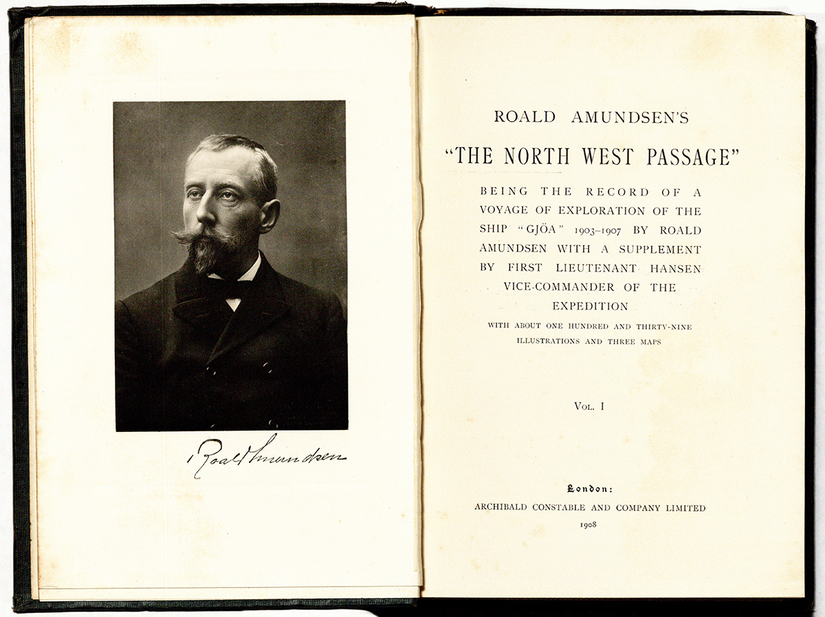
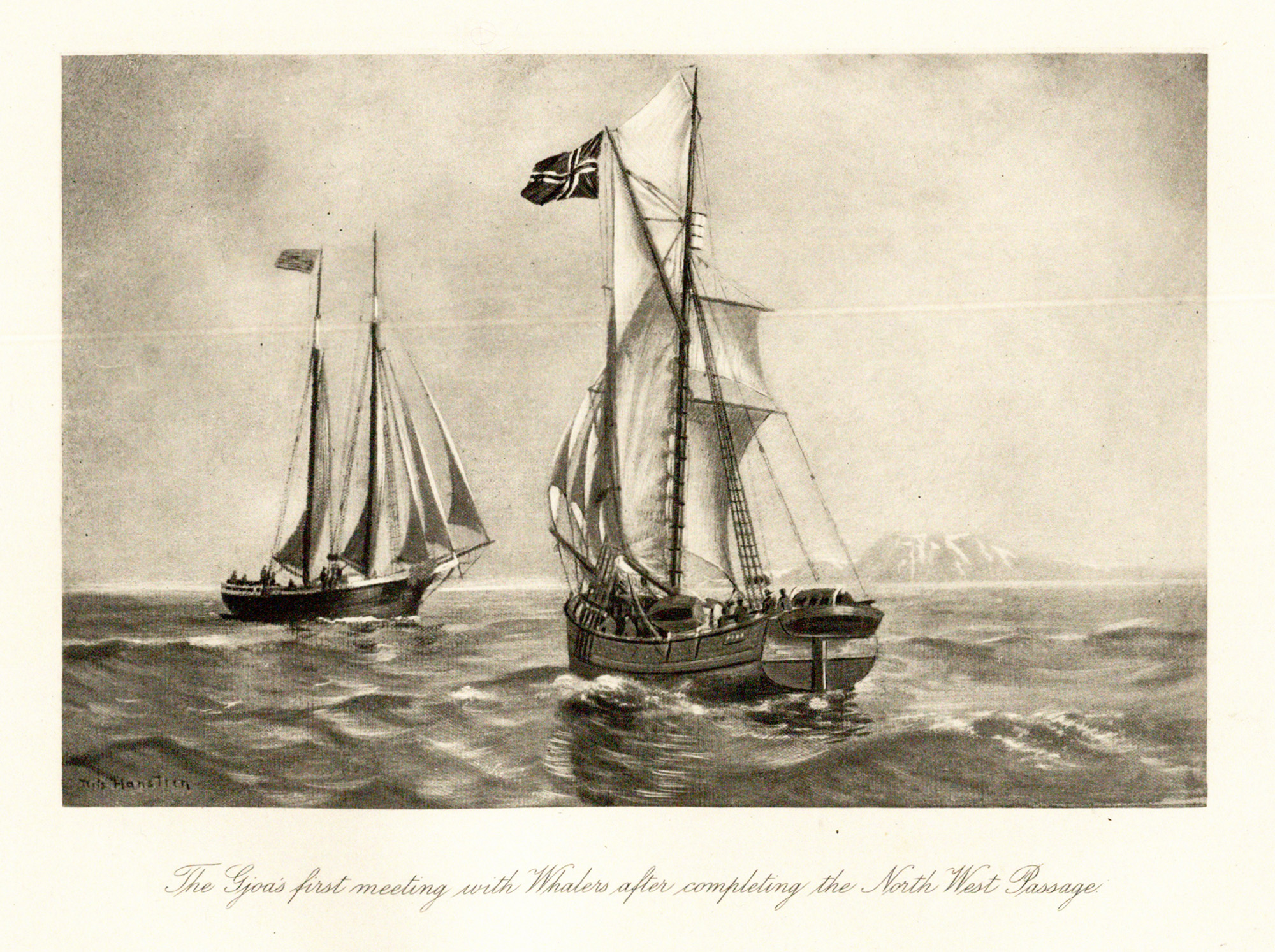
Norwegian explorer Roald Amundsen led the first expedition to successfully navigate the Northwest Passage by boat, although it took them three years due to the obstructions of winter pack ice. Setting out in 1903 from Baffin Bay, Canada, Amundsen and his crew finally made it to Nome, Alaska, in 1906. While overwintering at King William Island, they learned valuable survival skills from the Netsilik Inuit, which later helped Amundsen make his successful journey to the South Pole.
These satellite photographs of the Northwest Passage show the dramatic difference in the presence of ice from 2013 to 2016.
Schmaltz, Jeff and Kathryn Hansen. A Nearly Ice-Free Northwest Passage. NASA Earth Observatory, earthobservatory.nasa.gov/images/88597/a-nearly-ice-free-northwest-passage. Accessed 12 Nov. 2021.


