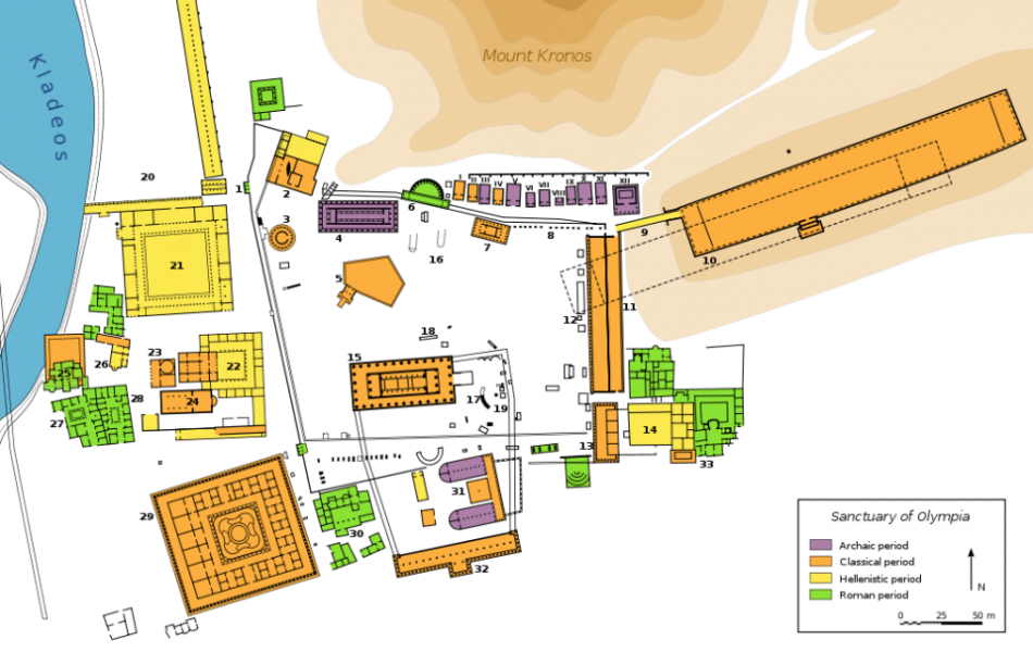
Proposed site map of Olympia, from the Archaic through the Roman periods.
Image from the public domain, Wikimedia Commons. http://commons.wikimedia.org/wiki/File:Plan_Olympia_sanctuary-en.svg
[1. Northwest Propylon. 2. Prytaneion. 3. Philippeion. 4. Temple of Hera. 5. Pelopion. 6. Nyphaeum of Herodes Atticus. 7. Metroon. 8. Treasuries. 9. Crypt (arched way to the stadium). 10. Stadium. 11. Echo Stoa. 12. Building of Ptolemy II and Arsinoe II. 13. Hestia stoa. 14. Hellensitic building. 15. Temple of Zeus. 16. Altar of Zeus. 17. Ex-voto of Achaeans. 18. Ex-voto of Mikythos. 19. Nike of Paeonius. 20. Gymnasium. 21. Palaestra. 22. Theokoleon. 23. Heroon. 24. Pheidias' workshop and paleochristian basilica. 25. Baths of Kladeos. 26. Greek baths. 27.&28. Hostels. 29. Leonidaion. 30. South baths. 31. Bouleuterion. 32. South stoa. 33. Villa of Nero. Treasuries: I. Sicyon. II. Syracuse. III. Epidamnus (?). IV. Byzantium (?). V. Sybaris (?). VI. Cyrene (?). VII. Unidentified. VIII. Altar (?). IX. Selinunte. X. Metapontum. XI. Megara. XII. Gela.]

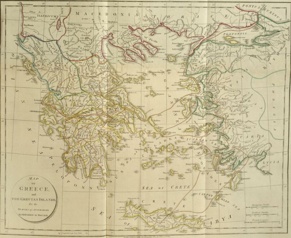
Map Of Greece
From Travels of Anacharsis the Younger in Greece: Maps, plans, views, and coins, illustrative of the geography and antiquities of ancient Greece by Jean-Jacques Barthelemy (1806). Image CC-BY-SA Digital Library@Villanova University. http://digital.library.villanova.edu/Item/vudl:6530

Map of Olympia
From Travels of Anacharsis the Younger: Maps, plans, views, and coins, illustrative of the geography and antiquities of ancient Greece by Jean-Jacques Barthelemy (1806). Image CC-BY-SA Digital Library@Villanova University. http://digital.library.villanova.edu/Item/vudl:6530

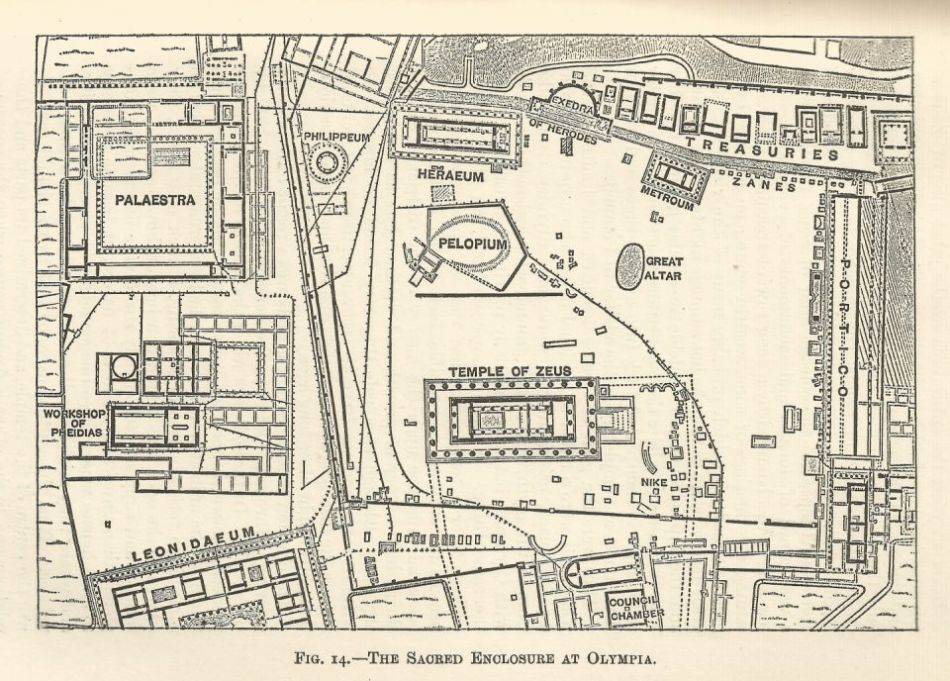
Site Map of Olympia
From A Manual of Greek Antiquities by Percy Gardner and Frank Byron Jevons (New York: 1895), pg. 171. Image from the public domain. Scanned from print copy.